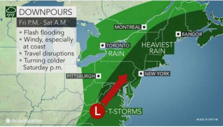
The heaviest rain, including some downpours, will be Friday night into the early overnight.
The potential for thunderstorms with strong winds, damaging gusts and locally heavy rainfall starts at around noontime.
The showers and storms will taper off around 9 a.m. Saturday after a potential 1.5 to 2 inches of rainfall.
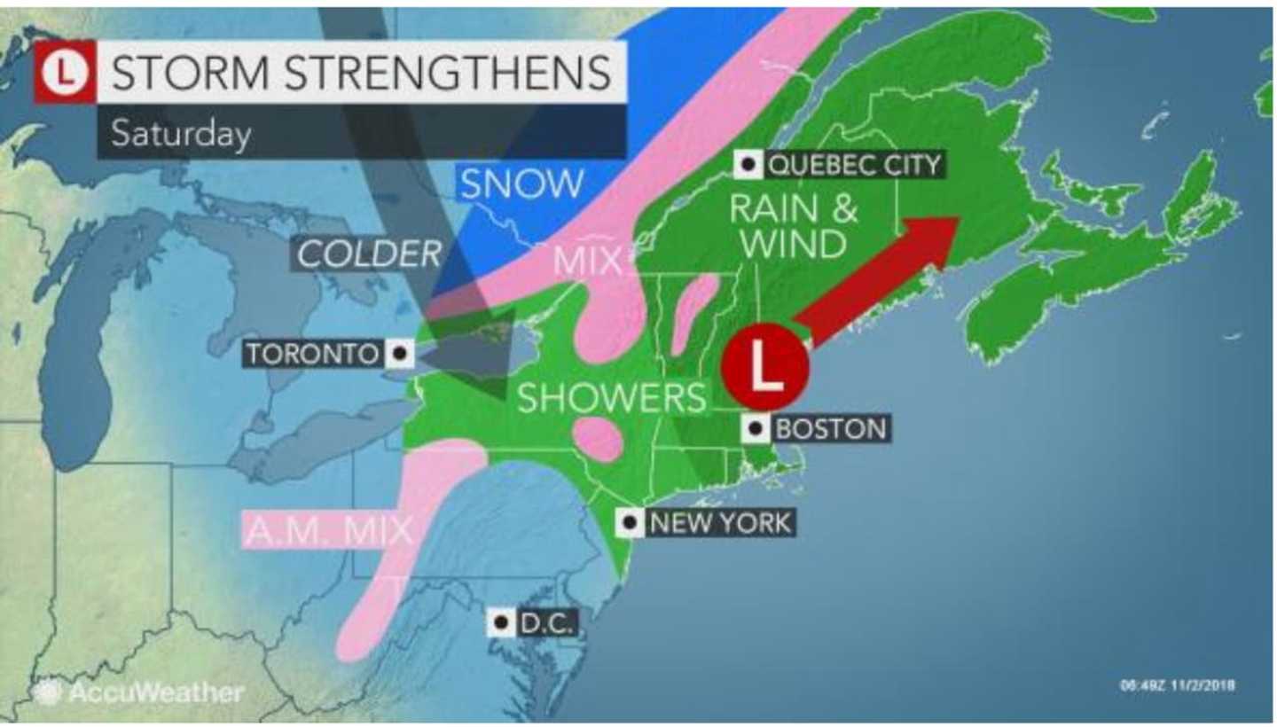
While the precipitation will be over, strong winds that could cause power outages will arrive late in the morning and continue through the early evening on Saturday.
The stormy stretch will be followed by colder temperatures, with Saturday's high in the mid-50s under mostly cloudy skies.
But it will feel much colder with afternoon winds of 20 to 30 mph in the afternoon. Winds could gust as high as 60 mph.
A High Wind Watch is in effect from noon till 8 p.m. Saturday.
It will become clear overnight Saturday into Sunday as we set out clocks back an hour, marking the end of Daylight Saving Time.
Sunday will be sunny with a high in the low-50s, ideal conditions for the estimated 50,000 participating in the New York City Marathon, which starts at 9:20 a.m.
Click here to follow Daily Voice Darien and receive free news updates.